
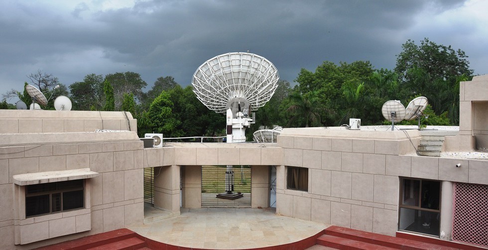
Bhaskaracharya National Institute for Space Applications and Geo-informatics (BISAG-N)
29.03.2025
Bhaskaracharya National Institute for Space Applications and Geo-informatics (BISAG-N)
|
For Prelims: About Bhaskaracharya National Institute for Space Applications and Geo-informatics (BISAG-N) |
Why in the news?
The Comptroller and Auditor General (CAG) of India recently signed an agreement with the Bhaskaracharya National Institute of Space Application and Geo-informatics (BISAG-N) to leverage advanced technologies in geographic information systems and remote sensing.
About Bhaskaracharya National Institute for Space Applications and Geo-informatics (BISAG-N):
- It is an autonomous scientific society registered under the Societies Registration Act, 1860, under the Ministry of Electronics & Information Technology (MeitY), Government of India.
- Location: Gandhinagar, Gujarat
- Objective: To undertake technology development & management, research & development, facilitate national and international cooperation, capacity building, and support technology transfer & entrepreneurship development in the area of geospatial technology.
- BISAG-N has three main domain areas: satellite communication, geo-informatics and geo-spatial technology.
- BISAG-N provides specialized services and solutions in implementing map-based Geographic Information Systems (GIS).
- BISAG-N undertakes all services for the entire process of implementing an enterprise level GIS system.
- These services include GIS database design and development, map creation/updation and finishing, data migration/conversion and format translation, software development and customization, systems integration, and technical consulting.
- BISAG-N also provides complete GIS solutions, which bundle hardware and software with GIS systems development services.
- BISAG-N offers comprehensive GIS/Photogrammetric solutions over large geographical areas.
- These include solutions and services in the areas of mapping, cartography, imaging, photogrammetry, and utility/environment resource management. BISAG-N provides solutions based on Remote Sensing, using multispectral data, for specific applications like agricultural crop monitoring, watershed management, forest fire mapping, etc.
- The Institute works in close coordination with Ministries and State Government departments/agencies and has thus emerged as a National level agency to use satellite communication and Space & Geo-spatial technologies for the planning and development activities in various sectors of the Government.
Source: Business Standard
Consider the following statements regarding the Bhaskaracharya National Institute for Space Applications and Geo-informatics (BISAG-N):
1. It is an autonomous scientific society under the Ministry of Electronics & Information Technology (MeitY).
2. It provides specialized services and solutions in implementing map-based Geographic Information Systems (GIS).
Which of the statements given above is/are correct?
A.1 only
B.2 only
C.Both 1 and 2
D.Neither 1 nor 2
Answer C