
Copernicus Emergency Management Service (EMS) Programme
22.05.2024
Copernicus Emergency Management Service (EMS) Programme
|
For Prelims: About Copernicus Emergency Management Service (EMS) Programme, How does rapid mapping work? |
Why in the news?
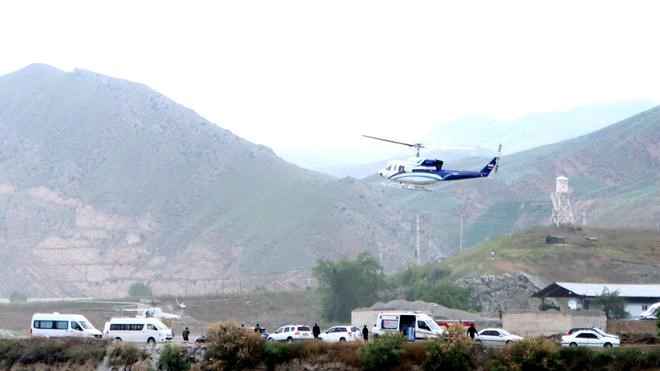
As part of a multi-agency effort to locate a helicopter carrying Iranian President Ebrahim Raisi that crashed in East Azerbaijan province recently, the European Union activated its Copernicus EMS rapid response mapping service at Iran’s request.
About Copernicus Emergency Management Service (EMS) Programme:
- Named after the renowned 15th-century scientist Nicolaus Copernicus, the programme is the earth observation component of the European Union’s (EU) space initiative.
- Copernicus was launched in 1998 and was earlier known as the Global Monitoring for Environment and Security Programme (GMES).
- The programme uses global data from satellites, and ground-based, airborne, and sea-borne measurement systems to provide environment-related information to researchers, policymakers, public authorities, international organizations and commercial and private users to address issues related to climate change, disaster management and agriculture, among other uses.
- The space segment uses a group of satellites, called the Sentinels and the Contributing Missions.
- It is complemented by a ground segment which includes in-situ sensors that provide access to the Sentinels and Contributing Missions data.
- Presently, the programme is implemented by EU member states with the support of the European Space Agency (ESA) for the space component and the European Environment Agency (EEA) for the in-situ component.
- Notably, data from the Copernicus programme is freely available and accessible to all.
- Active since 2012, the Copernicus EMS works on two models on-demand mapping and early warning and monitoring to issue warnings, risk assessments, and information on the impact of disasters worldwide, before, during, or after a crisis.
- While on-demand mapping offers detailed information for specific emergencies, early warning provides critical geospatial data through monitoring and forecasts for floods, droughts and forest fires.
How does rapid mapping work?
- The Copernicus EMS on-demand rapid mapping provides geospatial information within a few hours or days of a request to support efforts in the immediate aftermath of an emergency or a disaster anywhere in the world.
- It acquires, processes, and analyzes satellite images, geospatial data and relevant social media in rapid mode to provide information.
- The service offers four “products”, one pre-event reference and three post-event (first estimate, delineation, and grading).
- Each comprises delivery packages, including maps and a vector package of spatial data.
Source: The Hindu
With reference to the Copernicus Emergency Management Service (EMS) Programme, consider the following statements:
1. It provides environment related information to address issues related to climate change, disaster management and agriculture, among other uses.
2. It uses a group of satellites called the Sentinels, complemented by a ground segment which includes in-situ sensors that provide access to the Sentinels.
3. Data from the Copernicus programme is freely available and accessible to all.
How many of the above given statements are correct?
A.One Only
B.Two only
C.All three
D.None
Answer C