
Submersible Platform for Acoustic Characterisation and Evaluation
19.04.2024
Submersible Platform for Acoustic Characterisation and Evaluation
|
For Prelims: About Submersible Platform for Acoustic Characterisation and Evaluation, What is Sonar? |
Why in the news?
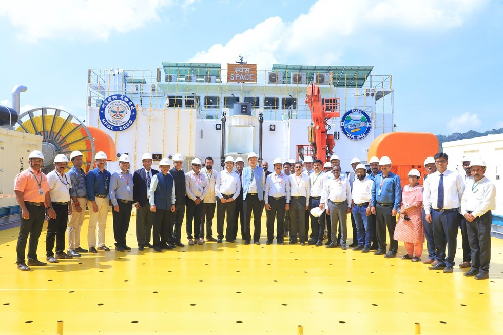
Recently, a state-of-the-art Submersible Platform for Acoustic Characterisation and Evaluation (SPACE) was inaugurated by the Secretary, Department of Defence (R&D) and Chairman DRDO in Kerala.
About Submersible Platform for Acoustic Characterisation and Evaluation:
- It is set up by the Naval Physical & Oceanographic Laboratory of the Defence Research and Development Organisation (DRDO).
- It has been designed as a premier testing and evaluation hub for sonar systems destined for the Indian Navy onboard various platforms including ships, submarines and helicopters.
- Features: It will consist of two distinct assemblages - a platform which floats on the water surface, and a submersible platform which can be lowered to any depth up to 100 m using winch systems.
- Uses: It will mainly be utilized for the evaluation of a complete sonar system, allowing for quick deployment and easy recovery of scientific packages such as sensors and transducers. It will be suitable for survey, sampling and data collection of air, surface, mid-water, and reservoir floor parameters using modern scientific instrumentation.
- It will cater to the needs of data processing and sample analyses in modern, well equipped scientific laboratories heralding a new era of Anti-Submarine Warfare research capabilities.
What is Sonar?
- Sound NAvigation and Ranging (SONAR) is a tool that uses sound waves to explore the ocean.
- Scientists primarily use sonar to develop nautical charts, locate underwater hazards to navigation, search for and identify objects in the water column and on the seafloor such as shipwrecks, and map the seafloor itself.
- Sonar is used for oceanography because sound waves travel farther in the water than radar and light waves can.
Source: PIB